
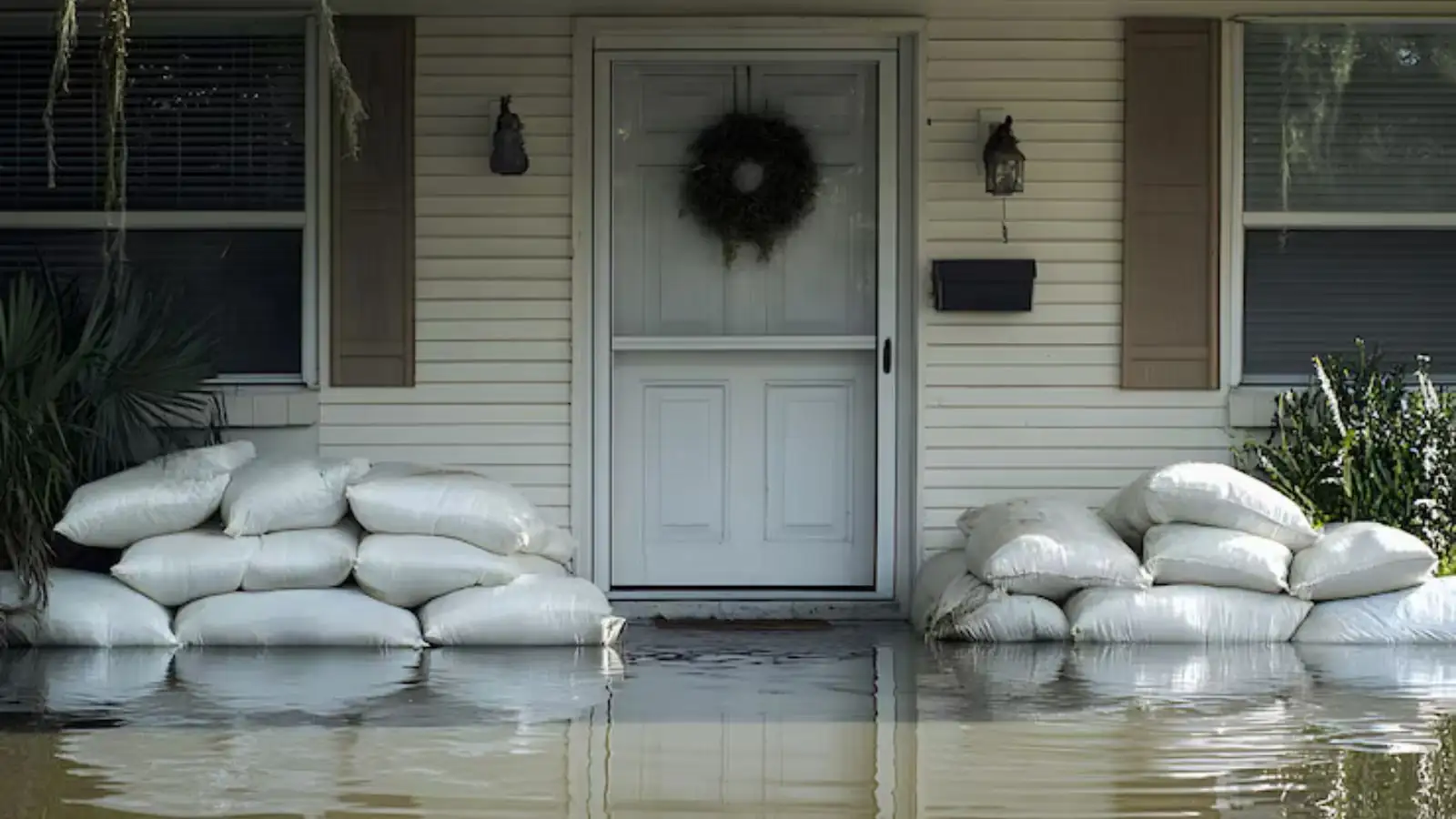
Lakeshore flooding in Flower Mound
Grapevine Lake forms much of Flower Mound's southern boundary, and Marshall Creek forms part of that same edge. The lake is a flood control reservoir on Denton Creek, so when heavy rain fills it, water moves toward neighborhoods on both sides.
In June 2015 the lake's spillway was used for the first time since 1981, FM 2499 between Grapevine and Flower Mound closed for an extended period, and Flower Mound signed an emergency declaration. The lake stayed above flood pool for more than 120 days that year, with parks and roads damaged.
When water is spreading in Flower Mound
Whether the water came from a split pipe or rising runoff, call right away. Extraction crews can be sent at any hour, and the dispatcher will tell you honestly what the schedule looks like that day. A fixed arrival window is not something we promise.
Flower Mound lies mostly in Denton County with a small part in Tarrant County. Its roads include FM 1171, known as Cross Timbers Road, running east to west and FM 2499 running north to south, so give the dispatcher your cross streets when you call. If the water is flood water, stay out until electrical risks are cleared.
Before help arrives: what to do if water keeps coming in
Take only the steps that are safe.
Stop the water
Close the fixture valve, the appliance valve or the main. If water is entering from outside, move to higher ground inside.
Treat the electrics with care
Never wade to the panel. Wet outlets or a wet panel mean stay out and call the electric utility or 911 first.
Lift contents
Raise valuables and paper onto counters or upper shelves.
Avoid contact
Lake, creek and drain water is contaminated. Keep children and pets away and wear boots and gloves if you must touch anything.
Capture the loss
Photograph the water line and the damage before moving anything.
Phone the 24/7 line
Tell the dispatcher how deep the water is and where it came from.
Neighborhood and landmark tie-backs
Flower Mound's Rock Ledge, Murrell and Twin Coves parks lie along the lake's North Shore trail, and The Mound itself, a 12.5-acre hill near FM 3040 and FM 2499, gave the town its name. Homes close to the lake or the creek should check the FEMA Flood Map Service Center and ask their insurer about flood coverage.
The Lakeside Business District on the southern edge and the Denton Creek District on the western edge sit near water, and businesses there should confirm their own flood coverage separately from a homeowner's policy.
Water coming in near the lake?
Call and describe the water. We explain scope and price before work starts.
Services Flower Mound calls for
Lake and storm calls go to flood damage restoration, with water damage cleanup after the water is out. Plumbing failures start with emergency water removal and water mitigation, and wet walls that sat too long lead to mold remediation. Rebuilding is covered by water damage repair.
Water supply and growth
The Town of Flower Mound receives water from two wholesale sources, the Upper Trinity Regional Water District and Dallas Water Utilities, and provides wastewater service itself. The town was incorporated on February 25, 1961 and had 75,956 residents in 2020, up 17 percent from 2010. Growth followed the opening of Dallas/Fort Worth International Airport in 1974 and brought a wide mix of home ages. Newer homes see appliance and supply line failures, and older ones add aging roofs and plumbing.
Nearby towns
We also dispatch to Southlake and Coppell from the same emergency line. For the full list of ZIP codes, see the service area page.
Map of Flower Mound, TX
Flower Mound water damage questions
Yes. Call any hour and a dispatcher takes the details, then sends a crew from the Grapevine side. Same-day help depends on crew availability, and we do not commit to a set arrival time.
We cover Flower Mound's ZIP codes 75028 and 75022, from the Cross Timbers Road corridor and Town Hall area out to the lake and the FM 2499 side of town. Call and confirm your address with the dispatcher.
Usually not. Standard policies exclude flood, and flood coverage is separate. Ask your insurer and check the FEMA Flood Map Service Center for your address.
Mostly Denton County, with a minor portion in Tarrant County. We serve the whole town.
Stay out of the water if outlets or the panel are wet and call the electric utility or 911 for any electrical risk. Then call us, and photograph the water line before anything is moved.